
GIS-Based Municipal Information System (GMIS)
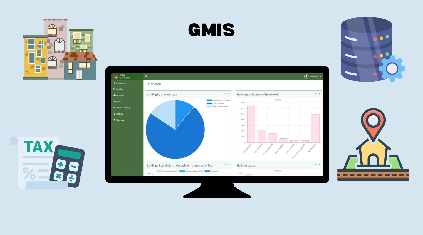
The GIS-Based Municipal Information System (GMIS) is a digital platform
developed to help municipalities map, manage, and monitor urban assets and
services. Integrating spatial and non-spatial data, GMIS links building
permits, property tax, roads, land use, and infrastructure information into one
unified system.
First implemented under the SMUSDP/DUDBC project in 2014 in Dharan,
Janakpur, Nepalgunj, Siddharthanagar and later upgraded for Dharan
Sub-Metropolitan City in 2022, GMIS features real-time dashboards, GIS mapping,
mobile data collection, metric addressing, and multi-user access.
Built using open-source and commercial GIS technologies, GMIS enables
data-driven urban planning, transparent governance, and improved municipal
service delivery—empowering cities like Dharan to move toward smarter, more
efficient urban management.