
Open-Source Base-IMIS
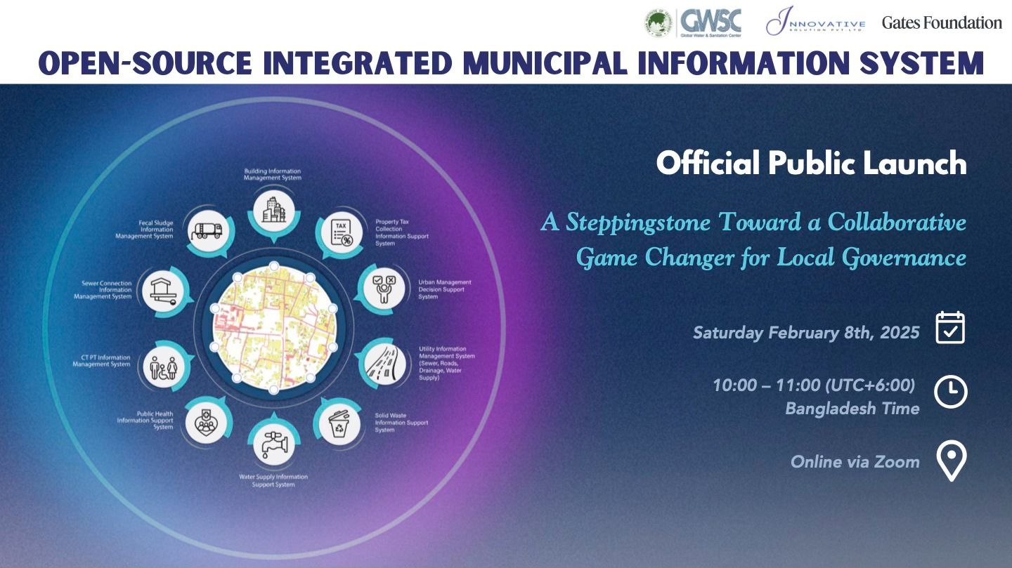
IMIS is an open-source GIS-based Digital Public Infrastructure (DPI) which functions as both a municipal information system and a software solution, integrating data, processes, and services to enhance municipal governance—particularly in sanitation management with Citywide Inclusive Sanitation (CWIS) approach to achieve SDG 6.2. It offers municipalities data-driven decision-making tools to strengthen governance across various sectors. By leveraging open-source technologies and Geographic Information Systems (GIS), it facilitates:
Planning, management, and monitoring of sanitation system using the CWIS approach.
End-to-end FSM (Faecal Sludge Management) service chain oversight, including real-time data tracking.
Generation and visualization of CWIS indicators for performance assessment.
Intuitive dashboards for tracking CWIS indicators, Key Performance Indicators (KPIs), and other essential municipal governance metrics.
IMIS as a sub-national public data system contributes to national-level monitoring by feeding data into centralized systems, supporting CWIS indicators and other critical metrics for achieving sanitation targets.
Beyond sanitation management, with its modular and scalable design, Base IMIS empowers local authorities by providing a unified, data-driven framework that enhances efficiency, accountability, and service delivery in municipal governance.